Map and compass basics
Phones run out of battery. How to read a map, set it to the ground and walk on a compass bearing.
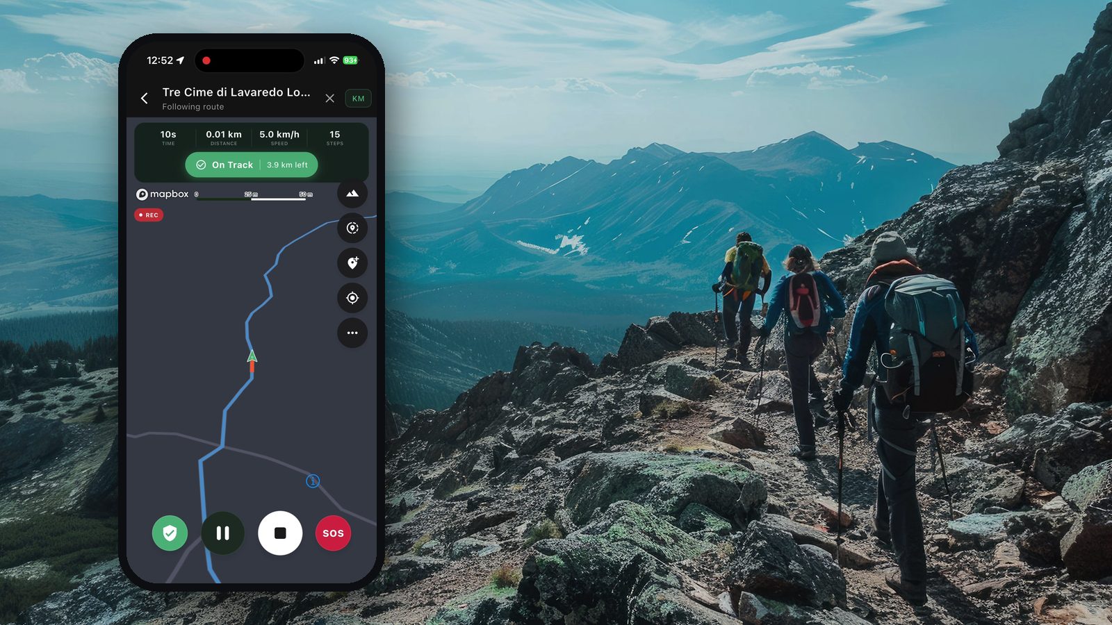
A phone with an offline map is a great tool, but batteries die, screens break and cold kills them faster. A paper map and a simple compass weigh little and never need charging. The basics take an afternoon to learn.
Reading the map
- check_circleScale: on a 1:25,000 map, 4 cm on paper is 1 km on the ground; on 1:50,000, 2 cm is 1 km.
- check_circleContour lines join points of the same height. Close together means steep; far apart means gentle.
- check_circleRead the shape: contours bending towards higher ground show a valley; bending towards lower ground show a ridge.
- check_circleLearn the symbols for paths, streams, woods, cliffs and buildings from the legend.
Set the map to the ground
Turn the map so that what is ahead of you on the ground is ahead of you on the map. Line up a road, a lake or a ridge you can see with the same feature on the map. A map that is the right way round is much easier to read than one held north-up.
Parts of a baseplate compass
- check_circleBaseplate with a direction-of-travel arrow.
- check_circleA rotating housing with the degree ring and orienting lines.
- check_circleThe magnetic needle, usually with a red north end.
Taking a bearing from the map
- check_circleLay the edge of the baseplate between where you are and where you want to go, with the travel arrow pointing towards your goal.
- check_circleTurn the housing until its orienting lines are parallel to the map's north–south grid lines, with the housing's north towards the top of the map.
- check_circleAdjust for magnetic declination if it is significant where you are.
- check_circleHold the compass flat in front of you and turn your whole body until the red end of the needle sits inside the orienting arrow.
- check_circleWalk in the direction of the travel arrow, picking a landmark on that line and walking to it, then the next.
Magnetic declination
The needle points to magnetic north, which is not exactly the map's north. The difference depends on where you are and changes slowly over time. In some places it is a degree or two and can be ignored on short legs; in others it is much larger. Look it up for your area before you go, for example with NOAA's free calculator.
Keep the compass away from your phone, keys and other metal while you read it: they pull the needle off.
Simple tricks that work
- check_circleHandrails: follow a long, clear feature such as a stream, a wall or a ridge.
- check_circleCatching features: note something you will hit if you go too far, like a road or a river.
- check_circleAiming off: aim slightly to one side of a point on a line feature, so you know which way to turn when you reach it.
- check_circleTick off features as you pass them, so you always know your last sure position.
Practise on an easy walk in good weather first. Learning to use a compass for the first time in fog on a mountain is too late.

Pathsie's GPS Mode shows a compass and your coordinates even without signal; use it alongside a paper map, not instead of one.
verifiedSources
This guide is based on the advice of these organisations.
- Mountaineering Scotland — Navigationopen_in_new
- NOAA — Magnetic declination calculatoropen_in_new
- U.S. National Park Service — Ten Essentialsopen_in_new
This guide is general information, not a substitute for training. Learn these skills on a course or with an experienced guide before relying on them.